Rocks, Sloughs, Bays, Islets and Creeks |
How many of you are up to speed with local place names? Did you know that just about every parcel of land, every croft, every bay and nearly all of the main rocks and cliffs in our area has a name or had a name associated with it at some point?
Sadly many of these names have been lost in the mists in
time however with a bit of research I’ve managed to recapture some of
them here – some of these places have more than one local name, a
 name
from long ago and maybe another from more recent years, and one or two
of them are “unofficial names” either used by locals or invented by us
when were are kids. I’m afraid that no amount of research will help you
find a lot of the following names on any map but what I will say is that
they are genuine and have been used at one time in the past or are still
in use today.
name
from long ago and maybe another from more recent years, and one or two
of them are “unofficial names” either used by locals or invented by us
when were are kids. I’m afraid that no amount of research will help you
find a lot of the following names on any map but what I will say is that
they are genuine and have been used at one time in the past or are still
in use today.
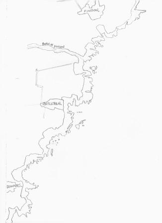
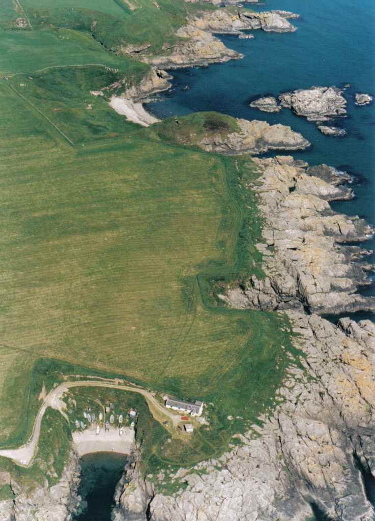
I’ve drawn a map from Findon Ness to Downies Haven and that has been accompanied by photographs of the major rocks, sloughs, bays, islets and creeks between both places. Whether you are an angler looking for a place to fish, a local historian interested in place names or one of the rock climbers or “boulderers” that have appeared in recent years you might find this section interesting – I suggest that if you are at all interested in the coastal area and are a regular visitor then you should use these names to identify what is what and where is where.
I’m absolutely positive that this list is by no means definitive and there are areas that I have missed entirely, if that’s a case then let me know and I’ll take a photo and get it added. Okay here we go, starting from the most northern part of the map.